These are some photos I took of the DSES radio telescope site about a year and a half ago, in July 2016.
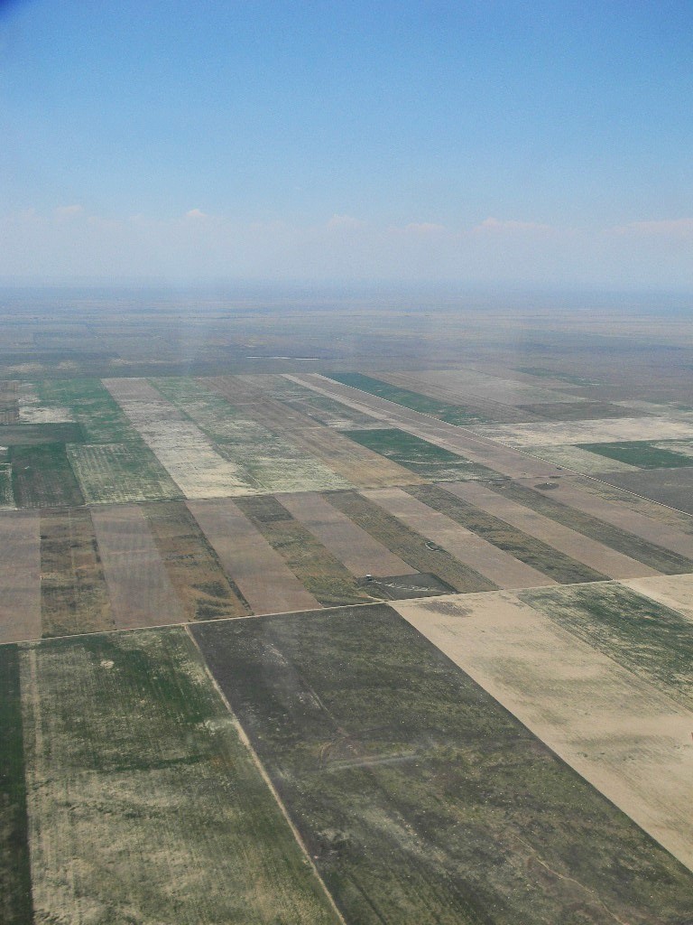
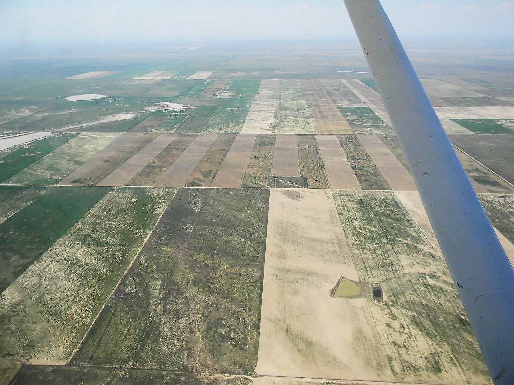
The altitude of the aircraft was 7500 feet above sea level. The elevation of the site is about 4500 feet, and so these photos are about 3000 feet above the ground. The radio telescope site is located in Kiowa County. The neighbors are ranches and farms.
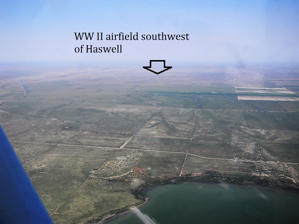
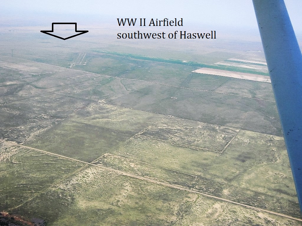
Visible from the air, to the southwest of the radio telescope site, are the remains of a World War II training airfield. The pattern of runways forms a triangle.
-Gary WA2JQZ